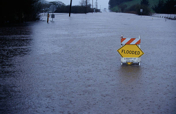
What You Need to Know About Potential Flooding

Getty Images
Thanks to KGET.com for the following:
Kern County officials are providing information, resources and maps for residents to get the latest on potential flooding due to the snowmelt.
The Kern County Fire Department has posted information on its website for residents. Officials are pointing residents to its Flood Estimation Maps, information from the California Department of Water Resources on flood risks and inflow and outflow level data at Isabella Dam from the U.S. Army Corps of Engineers.
- You can view the latest aerial flood estimation maps from Kern County Fire Department at this link. — NOTE: Areas in yellow designate areas along the river at-risk of inundation if river flows exceed target levels by 1,000 cubic feet per second. Orange areas identify areas susceptible to flooding if river flows increase by 2,000 cubic feet per second above the targeted threshold.
- Information from the California Department of Water Resources.
- Inflow and outflow data at Isabella Dam from the U.S. Army Corps of Engineers.
- Kern County has provided updates at its site.
- In addition, residents are advised to sign up for emergency alerts from ReadyKern.
On Wednesday, May 17, Kern County officials released new information about how people living in the metro Bakersfield area can prepare for the possibility of flooding. Watch the video here.
-Posted by Jeff Lemucchi


